Introduction: The Arctic, a vast and frigid landscape, is synonymous with snow and ice. However, a surprising trend is emerging – a surge in rainfall events. This shift from snow to rain, fuelled by rising temperatures, is raising concerns about the future of the Arctic ecosystem and its global influence.
A Landscape Shifting from White to Grey
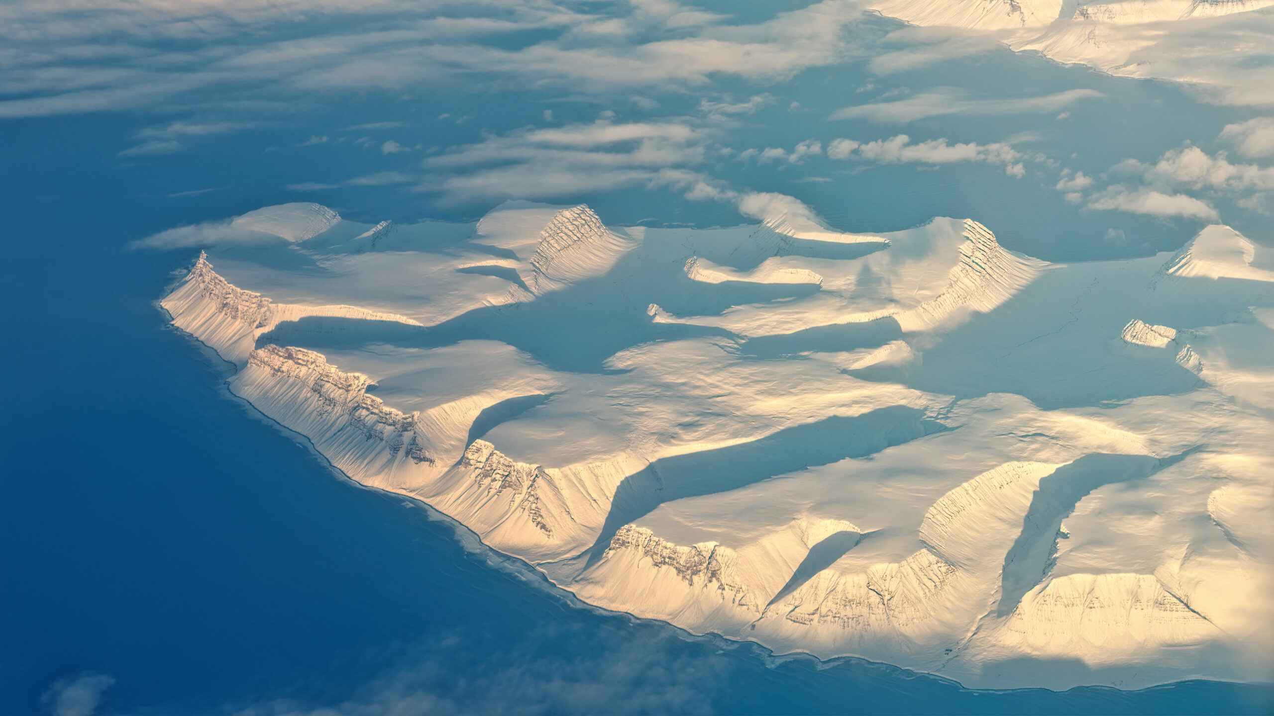
Traditionally, the Arctic’s cold temperatures ensure precipitation falls as snow. But with climate change leading to rapid warming in the region – at a rate four times faster than the global average – the delicate balance is tipping. A study by NASA scientists [NASA Arctic Rain] examined rainfall trends over the Arctic and North Atlantic oceans from 1980 to 2016. Their findings were stark:
- The North Atlantic, particularly sensitive to warming trends, witnessed an average increase of five additional rainy days per decade.
- The central Arctic Ocean and surrounding seas also saw a rise, with two extra rainy days per decade on average.
These seemingly small increments represent a significant shift in the Arctic’s weather patterns. As temperatures continue to climb, the frequency and intensity of rain events are projected to increase further.
Why Does More Rain Matter in the Arctic?
Rain falling on a frozen landscape might seem inconsequential. However, the implications are far-reaching and potentially disruptive:
- Melting Sea Ice: Rain falling on sea ice accelerates its melting. Unlike snow, which reflects sunlight and helps maintain cooler temperatures, rain absorbs heat, weakening the ice and contributing to sea level rise.
- Altered Ocean Salinity: Increased freshwater input from rain disrupts the delicate balance of salinity in the Arctic Ocean. This can impact ocean circulation patterns that play a crucial role in global climate regulation.
- Impact on Arctic Flora and Fauna: The shift from snow to rain can disrupt the habitats of Arctic plants and animals. For instance, reduced snow cover can affect the availability of food and breeding grounds for species like caribou and polar bears.

A Domino Effect on Global Weather Patterns
The Arctic’s transformation extends beyond its borders. The region plays a critical role in regulating global climate by reflecting sunlight and influencing atmospheric circulation patterns. A warming Arctic with less sea ice disrupts this delicate system, potentially leading to:
- Changes in Jet Stream: The jet stream, a high-altitude band of strong winds, is influenced by the temperature difference between the Arctic and lower latitudes. A reduced temperature contrast due to Arctic warming can lead to a more erratic jet stream, causing unpredictable weather patterns worldwide.
- More Extreme Weather Events: A weakened jet stream is linked to an increase in extreme weather events like heatwaves, droughts, and floods in various regions of the globe.
Urgent Need for Action
The rising frequency of rain in the Arctic is a wake-up call. It underscores the urgency of addressing climate change and transitioning to cleaner energy sources. Here are some key actions we can take:
- Reduce Greenhouse Gas Emissions: Limiting carbon dioxide and other heat-trapping gases is crucial to slow down Arctic warming and minimize the rain surge. This requires a global effort towards adopting renewable energy sources and curbing reliance on fossil fuels.
- Strengthen Climate Policies: Implementing stricter regulations on carbon emissions and investing in green initiatives are essential steps. International collaboration and strong climate policies are critical to achieve this.
- Arctic Research and Monitoring: Continued research is necessary to understand the complex interplay between climate change, rain events, and their cascading effects on the Arctic and beyond.
Conclusion: The Arctic’s surprising rain surge is a stark reminder of the interconnectedness of our planet’s climate system. By taking decisive action to curb climate change, we can mitigate the long-term consequences of a warming Arctic and safeguard the well-being of our planet for generations to come.##